
CHICAGOLAND DETAILS …
Radar indicates precipitation in the form of severe thunderstorms with frequent lightning which includes an area of thunderstorms near DeKalb, Illinois at 8:55 p.m. that will track into the area of Frontier Days at Recreation Park in Arlington Heights by about 9:45 p.m.
The nearest Severe Thunderstorm Warning at 8:55 p.m. covers Elgin and South Elgin which is for thunderstorm cells that will target a little north Recreation Park by about 9:20 p.m.
The forecast times are estimates and storm tracks could change.
Thunderstorm intensity and area growth is building, not dissipating. Also many new thunderstorm cells are developing from the south suburbs to Kankakee.
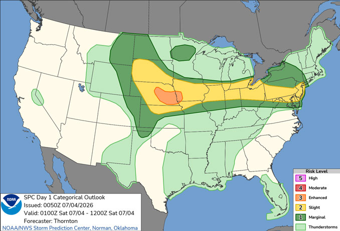
Additional round of storms are expected to last through the overnight hours.
Additional rounds of storms may move through the area tomorrow and Sunday.
WATCHES, WARNINGS, ADVISORIES
Severe Thunderstorm Watch
Severe Thunderstorm Warnings in the area
See also: LIVE STREAMS: Arlingtoncardinal.com/StormChasers
Temperature Outlook …
SA 72 88 | SU 71 84 | M 67 81 | T 64 84
O’HARE FORECAST …
Severe Thunderstorm Watch in effect from July 3, 06:40 PM CDT until July 4, 02:00 AM CDT
Flood Watch in effect from July 3, 08:32 PM CDT until July 4, 04:00 AM CDT
Friday Night: Showers and thunderstorms likely, mainly between 10pm and 2am. Some of the storms could be severe. Mostly cloudy, with a low around 72. South wind around 5 mph. Chance of precipitation is 70%. New rainfall amounts between a quarter and half of an inch possible.
Independence Day (Saturday): Scattered showers and thunderstorms. Mostly sunny, with a high near 88. Heat index values as high as 96. West northwest wind 5 to 10 mph becoming southeast in the afternoon. Chance of precipitation is 50%.
Saturday Night: Scattered showers and thunderstorms. Mostly cloudy, with a low around 71. East southeast wind 5 to 10 mph becoming west in the evening. Chance of precipitation is 50%.
Sunday: Scattered showers and thunderstorms. Partly sunny, with a high near 84. West northwest wind 5 to 10 mph, with gusts as high as 15 mph. Chance of precipitation is 30%.
Sunday Night: Isolated showers and thunderstorms before 10pm, then isolated showers between 10pm and 1am. Partly cloudy, with a low around 67. Northwest wind 5 to 10 mph, with gusts as high as 15 mph. Chance of precipitation is 20%.
Monday: Mostly sunny, with a high near 81.
Monday Night: Partly cloudy, with a low around 64.
Tuesday: Mostly sunny, with a high near 84.
Tuesday Night: Partly cloudy, with a low around 66.
Wednesday: Mostly sunny, with a high near 88.
Wednesday Night: Partly cloudy, with a low around 70.
Thursday: A chance of showers and thunderstorms. Mostly sunny, with a high near 88.
Thursday Night: A chance of showers. Mostly cloudy, with a low around 70.
RADAR • Clouds • Temps • NWS CHGO • UV
O’Hare Weather Forecast FRI JUL 03, 2026 8:42 PM SOURCE: National Weather Service local offices.
