
CHICAGOLAND DETAILS …
Radar was clear in northeast Illinois around 11:00 a.m. Saturday, June 6, 2026.
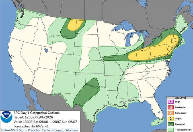
Shower and thunderstorm threat this afternoon-evening will focus primarily south of I-80, though showers and a few storms will also be possible near locations where the lake breeze pushing inland.
While there will be daily shower and thunderstorm chances through the upcoming week, expect plenty of dry hours. Outside of the convective chances, it will be very warm and humid inland, away from the lake shore until Tuesday.
See also: LIVE STREAMS: Arlingtoncardinal.com/StormChasers
O’HARE FORECAST …
Saturday: A 20 percent chance of showers and thunderstorms after 1pm. Mostly sunny, with a high near 86. West wind 5 to 10 mph becoming east northeast in the afternoon.
Saturday Night: A 20 percent chance of showers before 8pm. Mostly cloudy, with a low around 64. East northeast wind 5 to 10 mph.
Sunday: A 20 percent chance of showers and thunderstorms after 4pm. Mostly cloudy, with a high near 81. East northeast wind 5 to 10 mph, with gusts as high as 15 mph.
Sunday Night: A 30 percent chance of showers and thunderstorms, mainly after 1am. Mostly cloudy, with a low around 66. East northeast wind around 10 mph, with gusts as high as 15 mph.
Monday: A chance of showers and thunderstorms, then showers and possibly a thunderstorm after 1pm. High near 83. South southeast wind 10 to 15 mph, with gusts as high as 25 mph. Chance of precipitation is 80%.
Monday Night: Showers and possibly a thunderstorm. Low around 68. Chance of precipitation is 80%.
Tuesday: A 30 percent chance of showers and thunderstorms. Partly sunny, with a high near 86.
Tuesday Night: A chance of showers and thunderstorms. Partly cloudy, with a low around 70.
Wednesday: Mostly sunny, with a high near 92.
Wednesday Night: Mostly clear, with a low around 74.
RADAR • Clouds • Temps • NWS CHGO • UV
O’Hare Weather Forecast SAT JUN 06, 2026 11:01 AM SOURCE: National Weather Service local office.
