
CHICAGOLAND DETAILS …
Radar indicated weak precipitation moving west to east near the Mississippi River in northwest Illinois at 4:00 a.m., but it appears to be dissipating as it heads toward Rockford.
Tuesday morning precipitation is uncertain, but the precipitation indicated at the Mississippi River at 4:00 a.m. could bring showers in our area between 6:00 a.m. and 10:00 a.m. Tuesday.
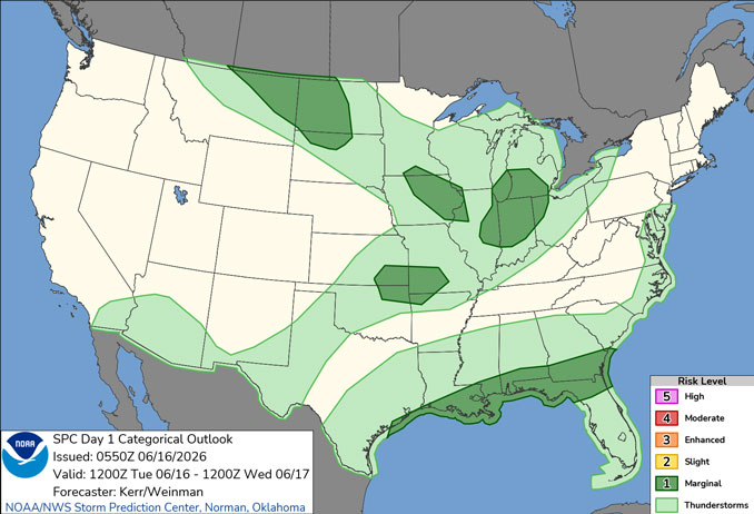
A period or two of scattered showers and isolated thunderstorms are expected Tuesday afternoon, with a level 1 of 5 severe risk east of I-55 including NW Indiana. Scattered thundershowers could develop in Arlington Heights, but the Level 1/5 severe weather is likely to be considerably south and east of the northwest suburbs of Chicago.
Wednesday’s forecast indicates the possibility of a dangerous severe weather outbreak, including the potential for long tracked, strong-violent tornadoes is possible, especially south of I-80. Champaign, Illinois will touch a high of 80 on Wednesday and Saturday, while Arlington Heights won’t see an 80-degree temperatures at least through next Monday.
Locally heavy rainfall Wednesday (probably more likely south of I-80) could result in areas of flash flooding and potentially some river flooding, which has activated a National Weather Service Hydrologic Outlook.
Hydrologic Outlook
Period of showers and thunderstorms are expected Wednesday. Thunderstorms will be very efficient at producing torrential rainfall, with some areas likely receiving up to 2 inches of rain in just an hour. Rainfall that intense would likely result in flash flooding.
In addition, localized rainfall totals in excess of 3 inches are possible across northern and central Illinois and northwest Indiana through the day Wednesday, which could result in significant rises and possible flooding on area streams and rivers.
Recent heavy rainfall has left streamflow above average in many areas and grounds still saturated. This will further increase the threat of flooding.
Anyone in or near flood prone areas should closely monitor later forecasts.
See also: LIVE STREAMS: Arlingtoncardinal.com/StormChasers
O’HARE FORECAST …
Tuesday: Showers and thunderstorms likely, mainly before 2pm. Increasing clouds, with a high near 73. Breezy, with a southwest wind 10 to 20 mph, with gusts as high as 30 mph. Chance of precipitation is 60%. New rainfall amounts of less than a tenth of an inch, except higher amounts possible in thunderstorms.
Tuesday Night: Partly cloudy, with a low around 57. West southwest wind 10 to 15 mph decreasing to 5 to 10 mph after midnight. Winds could gust as high as 25 mph.
Wednesday: Showers and thunderstorms. Some of the storms could be severe and produce heavy rainfall. High near 69. Breezy, with a south southeast wind 5 to 10 mph increasing to 15 to 20 mph in the afternoon. Winds could gust as high as 30 mph. Chance of precipitation is 100%. New rainfall amounts between 1 and 2 inches possible.
Wednesday Night: Showers and thunderstorms likely before 10pm, then showers likely between 10pm and 1am. Mostly cloudy, with a low around 61. South southwest wind around 15 mph, with gusts as high as 25 mph. Chance of precipitation is 70%.
Thursday: Partly sunny, with a high near 72. Breezy, with a west northwest wind 15 to 20 mph, with gusts as high as 25 mph.
Thursday Night: Mostly clear, with a low around 58.
Friday: Sunny, with a high near 75.
Friday Night: Mostly clear, with a low around 58.
Saturday: Mostly sunny, with a high near 78.
Saturday Night: A chance of showers after 1am. Mostly cloudy, with a low around 62.
RADAR • Clouds • Temps • NWS CHGO • UV
O’Hare Weather Forecast Compared to Phoenix, Miami, LA, Wash DC TUE JUN 16, 2026 4:08 AM SOURCE: National Weather Service local offices.
