The Associated Press’ Robert Ray reports, as crews in St. Charles Illinois are busy Tuesday morning clearing a small amount of snow that fell overnight and getting ready for a massive winter storm that could bring over a foot of snow to the midwest.
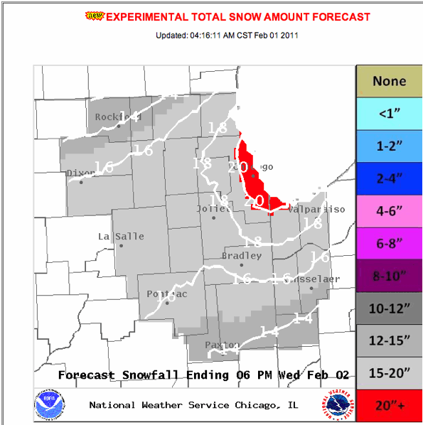
Experimental Total Snow Amount Forecast down slightly. Northwest Indiana forecast drops significantly. Twenty-inch forecast only displayed in Chicago city limits and small part of Indiana near the lake shore. Arlington Heights drops from 19 inches to 18 inches. The NWS text forecast is putting Arlington Heights in a 10-16-inch range.
Chicagoland continues to be under a Blizzard Warning effective 3 p.m. Tuesday to 3 p.m. Wednesday.

TOTAL SNOWFALL MAP: Experimental NWS Total Snow Forecast for Chicago Area as of February 1, 2011 at 4:16 a.m.

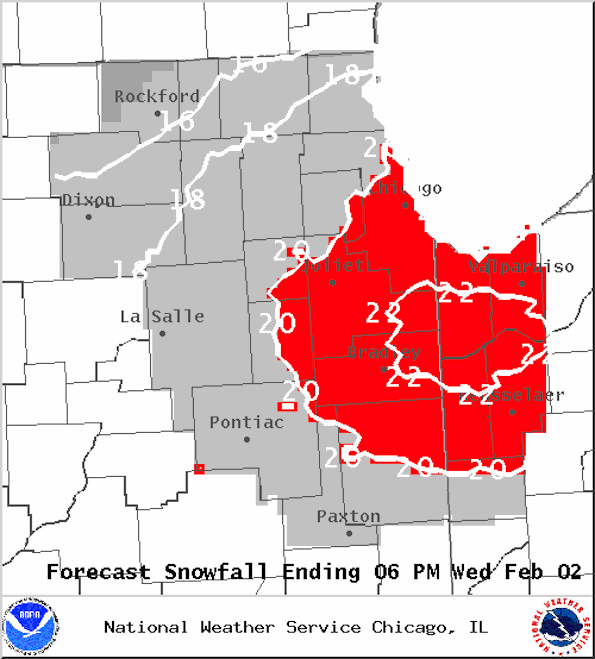
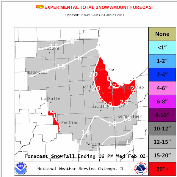
Forecast as of Monday January 31, 2011 showing heaviest amount snow slightly southeast compared to map from earlier this morning.

TOTAL SNOWFALL MAP: Experimental NWS Total Snow Forecast for Chicago Area as of Monday morning, showing 22″ for Soldier Field; 20″ for the entire City of Chicago including O’Hare; 19″ for Arlington Heights, Schaumburg, 18″ for Cary, Crystal Lake; 16″ for Rockford.
