
CHICAGOLAND DETAILS …
Radar indicates precipitation moving off to the east with the trailing border between DeKalb and Saint Charles, and just west of Algonquin and Elgin, as expected in the forecast (light rain/sprinkles should end by about 1:00 PM).
Showers and sprinkles will affect the area today and tonight, some locally heavy rainfall potentially south of U.S. 24.
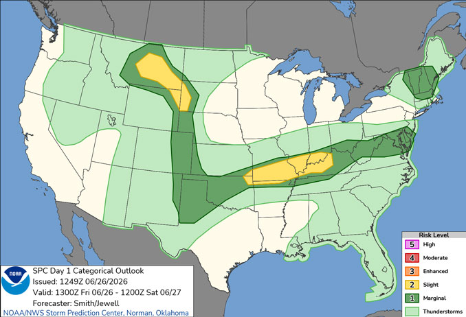
A few thunderstorms are possible Saturday night into Sunday morning.
Dangerous heat will build across the area next week, with afternoon heat index values over 100 degrees each day beginning Monday, and hottest days Wednesday (High 98) and Thursday (High 97).
Dangerous heat will develop quickly beginning Monday as a constant feed of Gulf moisture arrives in Chicagoland. Afternoon heat index values will likely rise over 100 beginning Monday and may persist through the entire week. Nighttime temps might not even drop into the 70s, instead lows around 80 could exist in the core of the Chicago metro for several nights. If there is no relief from showers and thunderstorms Thursday and Friday, excessive, dangerous heat will likely continue heading into the Independence Day weekend.
See also: LIVE STREAMS: Arlingtoncardinal.com/StormChasers
Temperature Outlook …
F 62 71 | SA 59 77 | SU 63 85 | M 75 92
O’HARE FORECAST …
Friday: Intermittent sprinkles before 1pm. Mostly cloudy, with a high near 71. East northeast wind around 10 mph, with gusts as high as 15 mph.
Friday Night: Mostly cloudy, with a low around 59 around 3am to 5am. North northeast wind 5 to 10 mph, with gusts as high as 15 mph.
Saturday: Mostly sunny, with a high near 77 around 3pm to 4pm. East northeast wind 5 to 10 mph.
Saturday Night: Partly cloudy, with a low around 63. East northeast wind 5 to 10 mph.
Sunday: Partly sunny, with a high near 85. Southeast wind 10 to 15 mph, with gusts as high as 20 mph.
Sunday Night: Partly cloudy, with a low around 75.
Monday: Mostly sunny, with a high near 92.
Monday Night: Partly cloudy, with a low around 79.
Tuesday: Sunny and hot, with a high near 96.
Tuesday Night: Mostly clear, with a low around 78.
RADAR • Clouds • Temps • NWS CHGO • UV
O’Hare Weather Forecast FRI JUN 26, 2026 11:26 AM SOURCE: National Weather Service local offices.
