
CHICAGOLAND DETAILS …
Radar is clear in northeast Illinois.
O’Hare reached a low of about 63, but Chicago Executive Airport reached a low of about 55 overnight Wednesday/Thursday.
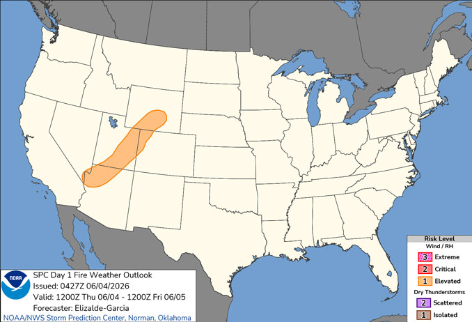
Increased grass/brush fire threat today due to unseasonably warm, dry, and breezy conditions. Warm conditions, southwest winds gusting as high as 25 mph, and relative humidity falling as low as 25 percent will result in an increased grass and brush fire threat this afternoon. Use extra care with any outdoor activities that involve open flame or sparks, including operating farm equipment, parking on grass, and improperly discarding smoking materials.
Periodic shower and thunderstorm chances return Friday and into next week. Low (level 1 out of 5) severe weather threat as early as Friday afternoon, but mainly Friday evening/night along with a threat for locally heavy rainfall.
See also: LIVE STREAMS: Arlingtoncardinal.com/StormChasers
O’HARE FORECAST …
Thursday: Mostly sunny, with a high near 88 around 5pm. Southwest wind 5 to 15 mph, with gusts as high as 25 mph peaking around 3pm to 5pm.
Thursday Night: Mostly cloudy, with a low around 69 from 4am to 7am Friday morning. South southwest wind 10 to 15 mph, with gusts as high as 25 mph.
Friday: Showers and thunderstorms likely, mainly before 10am, then showers likely and possibly a thunderstorm after 1pm. Partly sunny, with a high near 84. Breezy, with a south southwest wind 15 to 20 mph, with gusts as high as 30 mph. Chance of precipitation is 70%. New rainfall amounts between a quarter and half of an inch possible.
Friday Night: Showers and possibly a thunderstorm. Low around 66. Southwest wind 10 to 15 mph, with gusts as high as 25 mph. Chance of precipitation is 80%.
Saturday: A chance of showers, with thunderstorms also possible after 7am. Partly sunny, with a high near 86. West southwest wind 5 to 10 mph. Chance of precipitation is 40%.
Saturday Night: A chance of showers and thunderstorms before 7pm, then a slight chance of showers between 7pm and 1am. Partly cloudy, with a low around 64. Chance of precipitation is 30%.
Sunday: Partly sunny, with a high near 82.
Sunday Night: Mostly cloudy, with a low around 65.
Monday: A chance of showers and thunderstorms after 1pm. Partly sunny, with a high near 86.
Monday Night: A chance of showers and thunderstorms. Mostly cloudy, with a low around 69.
RADAR • Clouds • Temps • NWS CHGO • UV
O’Hare Weather Forecast THU JUN 04, 2026 7:49 AM
