

CHICAGOLAND DETAILS …
Radar is clear in the northwest suburbs of Chicago, Illinois.
A wind shift from the west to from the east occurred about 2:00 p.m., bringing in some natural air conditioning from Lake Michigan to inland suburbs (84 at 1:51 p.m. to 73 by 8:51 p.m.).
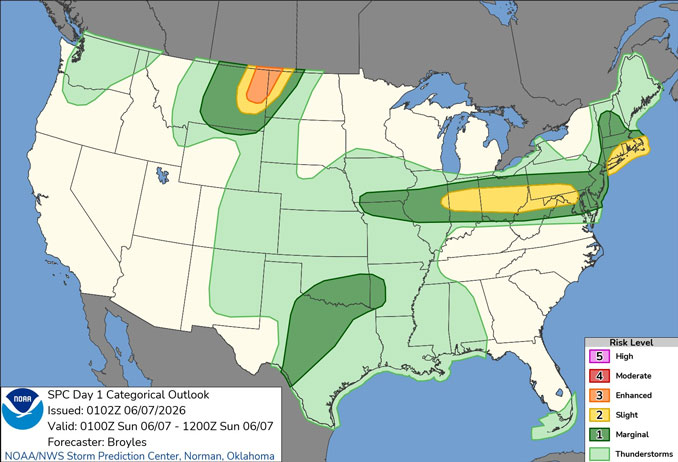
Isolated to widely scattered showers and thunderstorms will continue overnight, mainly along and south of a Rochelle to Joliet and Lafayette, Indiana line. No severe weather is expected.
While there will be daily shower and thunderstorm chances through the upcoming week, expect plenty of dry hours. Outside
of the convective chances, it will be very warm and humid inland, away from the lake until Tuesday.
Overnight lows have trended upward a few degrees over the next three days.
See also: LIVE STREAMS: Arlingtoncardinal.com/StormChasers
O’HARE FORECAST …
Overnight Saturday/Sunday: Mostly cloudy, with a low around 66 about 4am to 5am. East northeast wind around 5 mph.
Sunday: Partly sunny, with a high near 81 about 2pm to 5pm. East northeast wind 5 to 10 mph, with gusts as high as 15 mph peaking around 11am to noon.
Sunday Night: Mostly cloudy, with a low around 67. East northeast wind around 10 mph, with gusts as high as 15 mph.
Monday: Showers and thunderstorms, mainly after 1pm. High near 83. Southeast wind 10 to 15 mph, with gusts as high as 20 mph. Chance of precipitation is 80%.
Monday Night: Showers and thunderstorms. Low around 70. South wind 5 to 10 mph. Chance of precipitation is 80%.
Tuesday: A 20 percent chance of showers and thunderstorms. Partly sunny, with a high near 86.
Tuesday Night: A 20 percent chance of showers and thunderstorms. Partly cloudy, with a low around 74.
Wednesday: Mostly sunny, with a high near 90.
Wednesday Night: A chance of showers and thunderstorms. Partly cloudy, with a low around 74.
RADAR • Clouds • Temps • NWS CHGO • UV
O’Hare Weather Forecast SAT JUN 06, 2026 10:11 PM SOURCE: National Weather Service local offices.
