
Less Snow North, More Snow South
There is increasing confidence in a slow and slippery Wednesday morning commute for much of Chicagoland, necessitating the expansion of the Winter Weather Advisory across the entire forecast area (instead of south of I-88). An extension in time was also made for Lake Michigan-bordering counties to account for lake effect snow along the backside of the system. Deeper snow is forecast in Chicago near the lake due to lake effect snow.
Weather Radar shows snow mixed with rain in southwest Missouri, moving northeast toward Chicagoland. Snowfall in the northwest suburbs is not expected to be significant until about 3:00 a.m. Flurries might start about 1:00 a.m. About 1 inch of snow is expected to fall by 6:00 a.m., and then another 3 inches of snow if forecast for all day Wednesday through Thursday morning until about 11:00 a.m. Warming surface temperatures above the freezing mark may slow down meaningful snow accumulations Wednesday afternoon. The highest snowfall rates will be from 4:00 a.m. to 5:00 p.m. Wednesday near Arlington Heights. The snow will be wet and heavy (10:1 to 12:1 inches of snow to 1 inch liquid).
Snowfall Forecast …
Arlington Heights 3.9″
Antioch 2.9″
Barrington 3.5″
Beverly CC SW Chicago 4.5″
Buffalo Grove 3.7″
Champaign 5.2″
DeKalb 3.7″
Des Plaines 3.9″
Dixon, IL 4.1″
Elk Grove Village 3.9″
Guaranteed Rate Field 4.6″
Highland Park 4.0″
Joliet 3.0″
Long Grove 3.6″
McHenry 3.1″
Naperville 3.3″
Park Ridge 4.1″
Paxton 6.5″
Schaumburg 3.6″
Springfield 4.0″
Tinley Park 4.2″
Waukegan 3.6″
Wheeling 3.8″
Wrigley Field 4.6″
Zion 3.5″
WINTER WEATHER ADVISORY …
Winter Weather Advisory
National Weather Service Chicago IL
213 PM CST Tue Jan 24 2023
…WINTER WEATHER ADVISORY IN EFFECT FROM 3 AM TO 9 PM CST WEDNESDAY…
* WHAT…Slippery travel due to falling snow expected. Total snow accumulations of 2 to 4 inches expected.
* WHERE…Lake IL, DuPage, Northern Cook and Central Cook Counties.
* WHEN…From 3 AM to 9 PM CST Wednesday.
* IMPACTS…Plan on slippery road conditions during the Wednesday morning commute.
PRECAUTIONARY/PREPAREDNESS ACTIONS…
Slow down and use caution while traveling.
The latest road conditions for Illinois can be obtained on the internet at www.gettingaroundillinois.com.
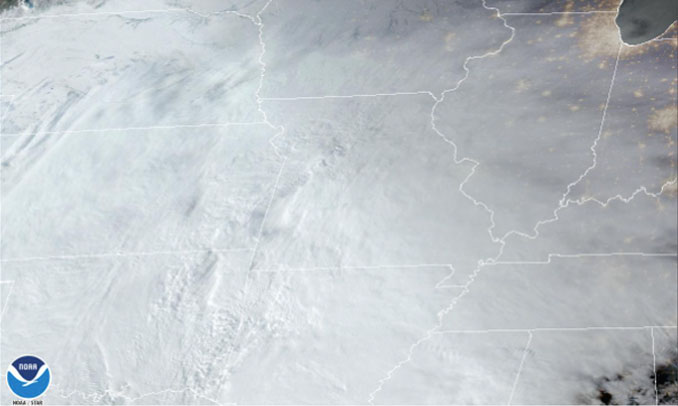
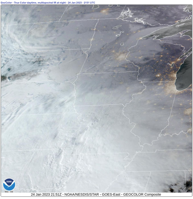
Weather Radar in northeast Illinois was clear.
See also Arlingtoncardinal.com/clouds
General timing information is shown in this graphic. Snow accumulations, rates, and impacts are expected to ease/diminish Wednesday afternoon. #ILwx #INwx (3/4) pic.twitter.com/TNhn2ggv8b
— NWS Chicago (@NWSChicago) January 24, 2023
Winter Weather Advisory issued January 24 at 2:13PM CST until January 25 at 9:00PM CST by NWS: …WINTER WEATHER ADVISORY IN EFFECT FROM 3 AM TO 9 PM CST WEDNESDAY… * WHAT…Slippery travel due to falling snow expected. Total… https://t.co/mKIT0m6Q1b https://t.co/BLvzty7VcU
— Cardinal Weather (@CardinalWeather) January 24, 2023
Accumulating snow develops northward across the area tonight and continues Wednesday. Here is a timeline that displays the general timing of the highest snow rates expected across the area. #ILwx #INwx (3/4) pic.twitter.com/OfarJ6jaCA
— NWS Chicago (@NWSChicago) January 24, 2023
[3pm 1/24/23] – Snowfall impacts much of the area late tonight through Wed, with greatest impacts expected thru AM Wed. Expect hazardous travel conditions during the AM Wed commute. The Winter Weather Advisory expanded north to the Wisconsin/Illinois line. #ILwx #INwx (1/4) pic.twitter.com/PUkFc9eQ6X
— NWS Chicago (@NWSChicago) January 24, 2023
O’HARE FORECAST …
Tuesday Afternoon: Mostly cloudy, with a high near 35. South southwest wind around 5 mph.
Tuesday Night: Snow, mainly after 1am. Low around 31. South wind around 5 mph becoming east northeast after midnight. Winds could gust as high as 10 mph. Chance of precipitation is 90%. New snow accumulation of around an inch possible.
Wednesday: Snow. High near 34. East northeast wind 5 to 15 mph, with gusts as high as 20 mph. Chance of precipitation is 100%. New snow accumulation of 1 to 3 inches possible.
Wednesday Night: A 30 percent chance of snow, mainly before midnight. Cloudy, with a low around 27. Northwest wind around 10 mph, with gusts as high as 20 mph.
Thursday: A 30 percent chance of snow, mainly before noon. Cloudy, with a high near 31. Northwest wind 5 to 10 mph.
Thursday Night: Mostly cloudy, with a low around 20.
Friday: A 50 percent chance of snow. Cloudy, with a high near 35. Breezy.
Friday Night: Mostly cloudy, with a low around 18. Breezy.
Saturday: A chance of snow after noon. Cloudy, with a high near 25.
Saturday Night: A chance of snow. Cloudy, with a low around 18.
Sunday: Cloudy, with a high near 24.
Sunday Night: Mostly cloudy, with a low around 7.
Monday: Partly sunny, with a high near 17.
LAKE TEMPS …
SOUTHERN LAKE MICHIGAN WATER TEMPERATURES
NATIONAL WEATHER SERVICE CHICAGO/ROMEOVILLE IL
910 AM CST Tue Jan 24 2023
LAKE MICHIGAN WATER TEMPERATURES…
CHICAGO SHORE……….35.
CHICAGO CRIB……….35.
MICHIGAN CITY……….35.
&&
M IS FOR MISSING DATA THAT IS NORMALLY AVAILABLE.
THE MICHIGAN CITY WATER TEMPERATURE SENSOR IS LOCATED AT A WATER INTAKE ONE MILE OFFSHORE AND 60 FEET BELOW WATER SURFACE. IT IS READ EVERY DAY OF THE YEAR.
january.chicagoweatherstation.com
Chicago Weather Forecast for your MAC/PC/TABLET includes surrounding suburbs.
^^ MOBILE? USE VOICE MIC ^^
facebook …
Please ‘LIKE’ the ‘Arlington Cardinal Page. See all of The Cardinal Facebook fan pages at Arlingtoncardinal.com/about/facebook …
Help fund The Cardinal Arlingtoncardinal.com/sponsor
20240105-1435future
